Get to know What we offer?
The tools and resources of the geographic information of the Dominican Republic. Use the web services provided by different organizations and institutions to view and download geographic information from your desktop application or web application. See data descriptions, access official and standardized documentation. Explore data through maps.

Directory
Of Services
Services or Geoservices (WMS and WMTS, WFS, CSW) based on standards defined by the Open Geospatial Consortium (OGC).

Metadata
Catalog
This service allows users to search and navigate through geospatial information and services.

Document
Repository
This section allows the consultation and download of technical documents, standards, manuals, reports, among others.
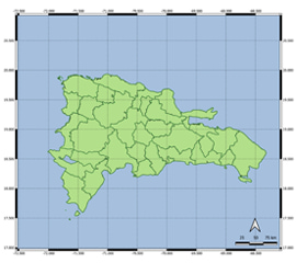
Maps
Explore maps, and learn about the geographical transformation that the Dominican Republic has undergone in recent years.