Welcome to the
Spatial Data Infrastructure
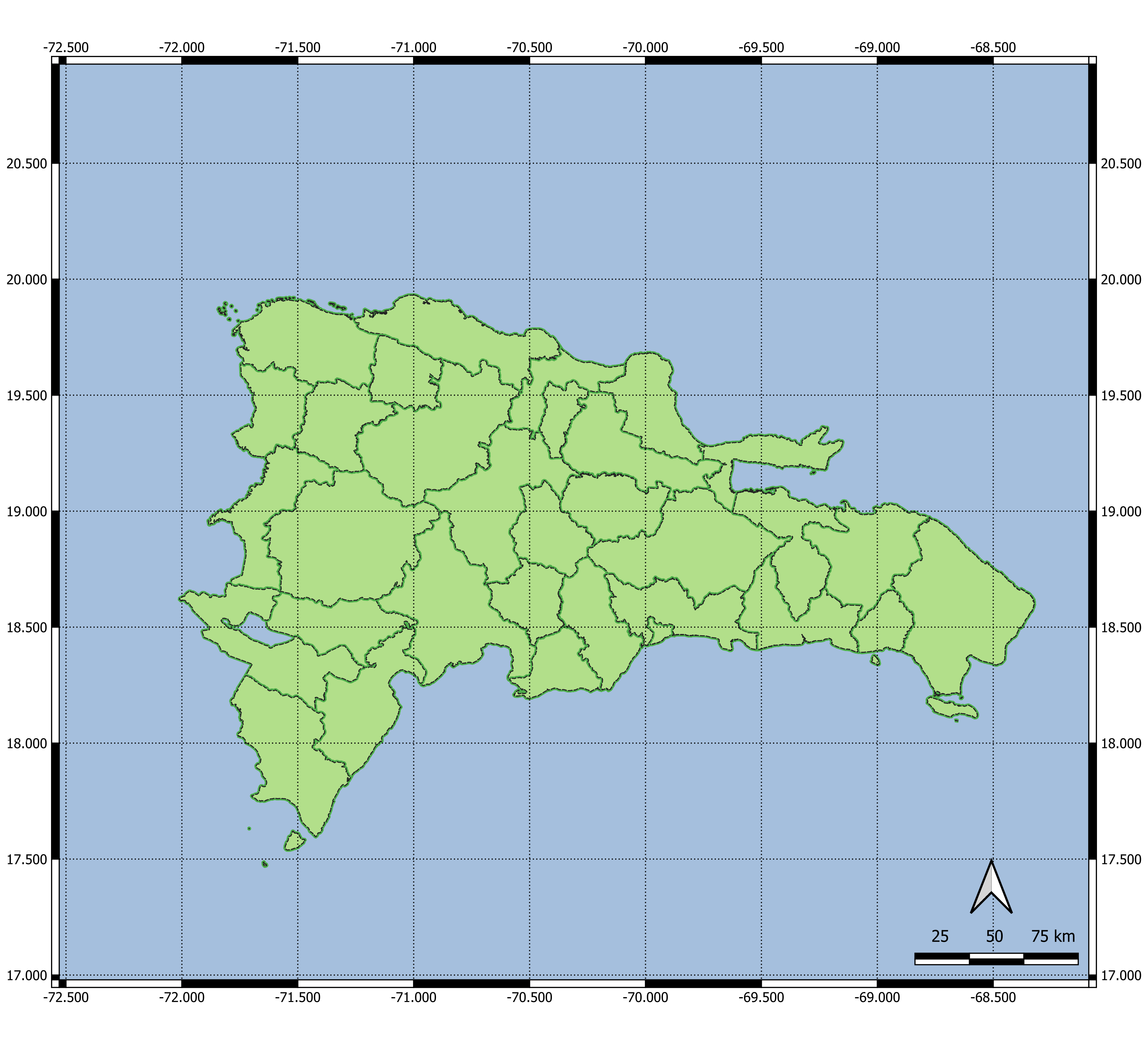
of the Dominican Republic
What is an SDI?
The Spatial Data Infrastructure (in Spanish “Infraestructura de Datos Espaciales – IDE”) of the Dominican Republic (i.e. “República Dominicana – RD”): It is the set of technologies, human resources, policies and standards to acquire, process, store, distribute and improve the use of geographic information of the Dominican Republic.
Partners
Get to know What we offer?
The tools and resources of the geographic information of the Dominican Republic. Use the web services provided by different organizations and institutions to view and download geographic information from your desktop application or web application. See data descriptions, access official and standardized documentation. Explore data through maps.

DIRECTORY OF
SERVICES
Services or Geoservices (WMS and WMTS, WFS, CSW) based on standards defined by the Open Geospatial Consortium (OGC).

METADATA
CATALOG
This service allows users to search and navigate through geospatial information and services.

REPOSITORY OF
DOCUMENTS
This section allows the consultation and download of technical documents, standards, manuals, reports, among others.
MAPS
Explore maps, and learn about the geographical transformation that the Dominican Republic has undergone in recent years.
Advantages of IDERD
Thanks to the Spatial Data Infrastructure of the Dominican Republic, the high costs for the collection and production of information are avoided, avoiding at the same time the duplication of efforts in the institutions and an expense to the Dominican State.
Thanks to the data present in the IDERD, governments (central and local) can define territorial policies that rely heavily on a geographic base.
The IDERD facilitates access to geographic information, so that any organization or user can have access and use it for evaluation and making decisions based on spatial data.
The private sector can benefit from the IDERD, thanks to the geolocated information available in repositories and catalogs, using them to improve market and client’s awareness, to create better marketing strategies.
The academic sector will achieve a deep and accurate knowledge of the current problems of society, focusing their research so that they aim to solve or mitigate social problems.
Access the geoportal and
and view, consult or
download
official geographic data.
